GeoMeta For ACF
| 开发者 |
stuporglue
luminfire |
|---|---|
| 更新时间 | 2017年3月5日 00:06 |
| PHP版本: | 4.4.0 及以上 |
| WordPress版本: | 4.7.2 |
| 版权: | GPLv2 or later |
| 版权网址: | 版权信息 |
详情介绍:
GeoMeta for ACF is an easy way to store location information about posts, pages,
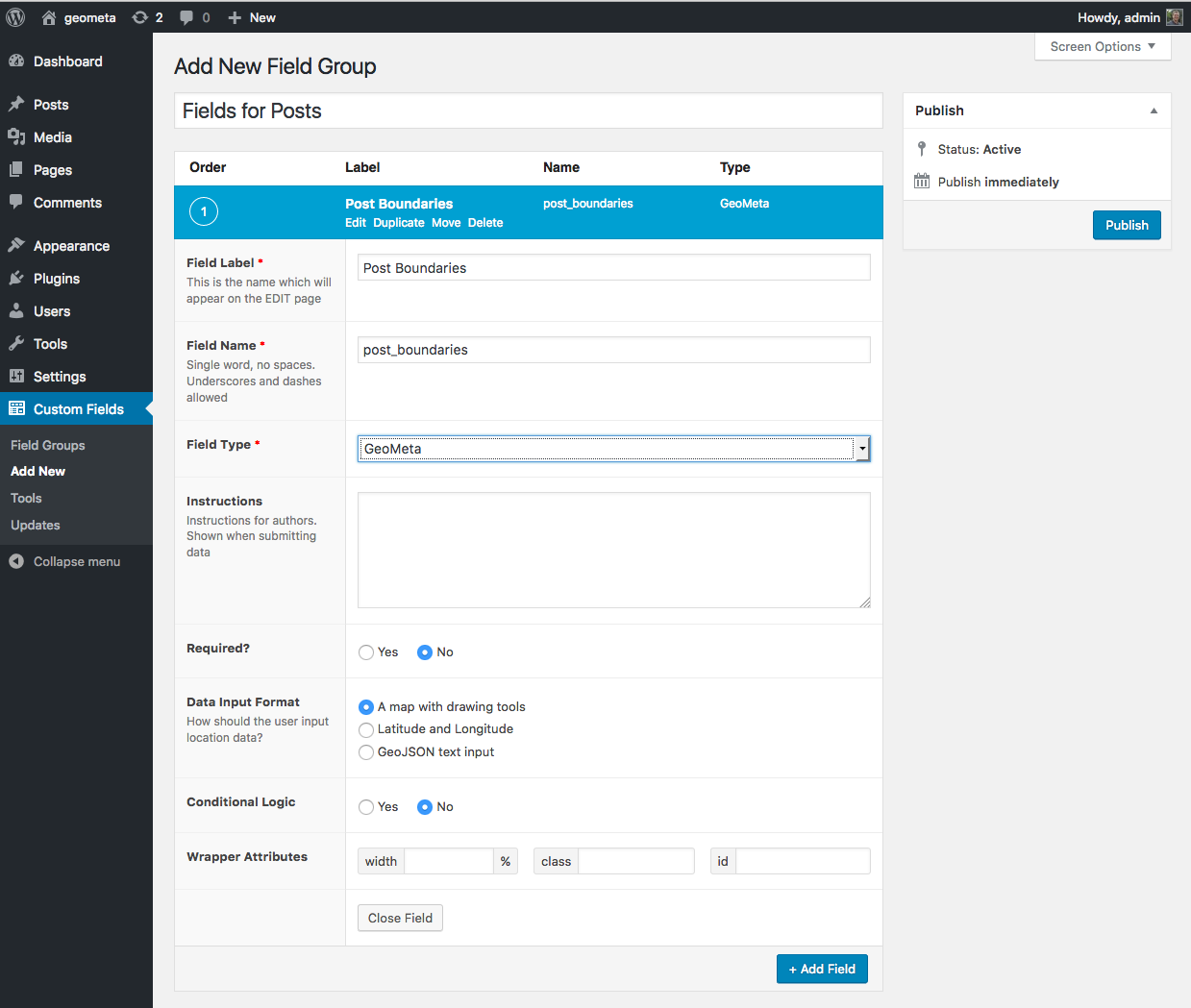
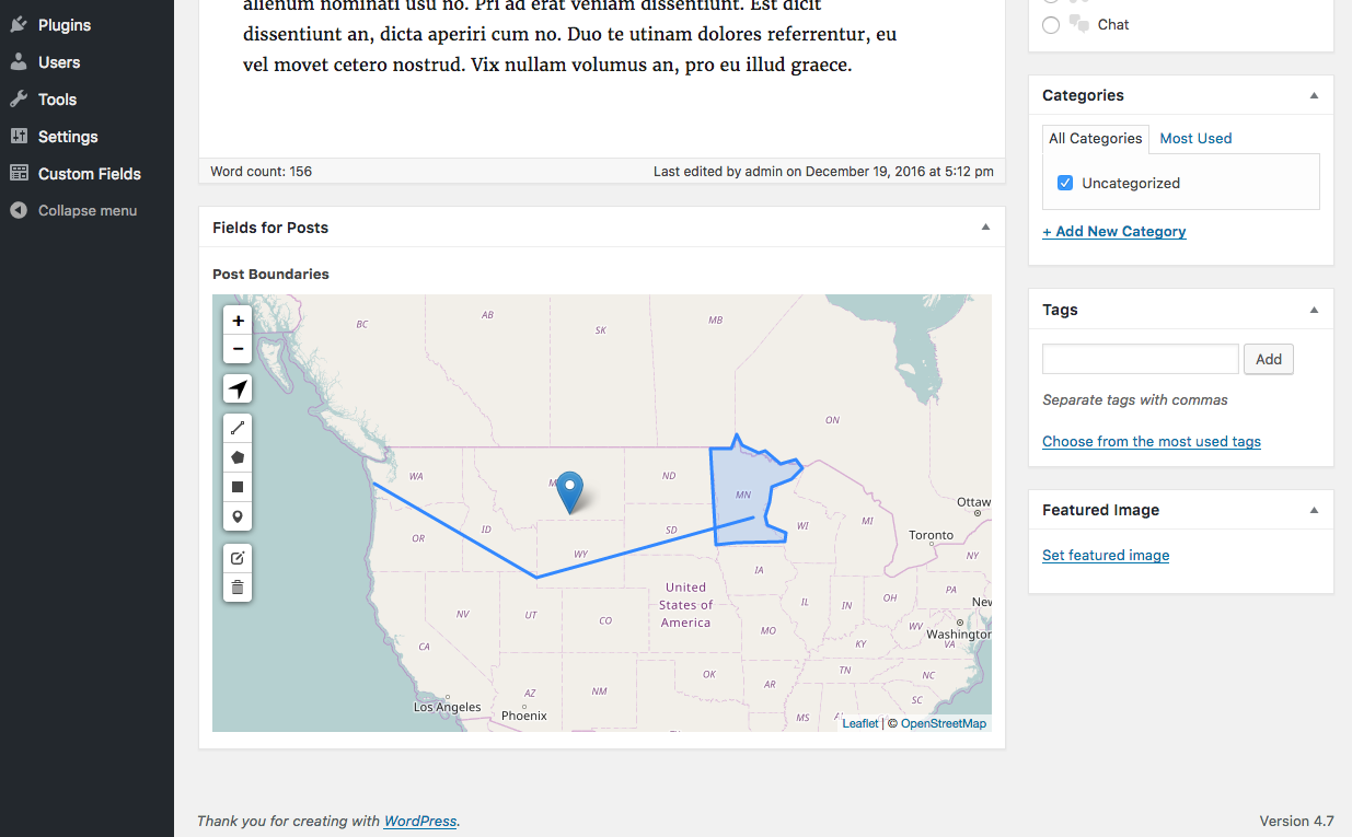
users or other content types that ACF supports. The default input is a map
with drawing tools to let the user draw markers, lines and polygons.
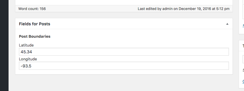
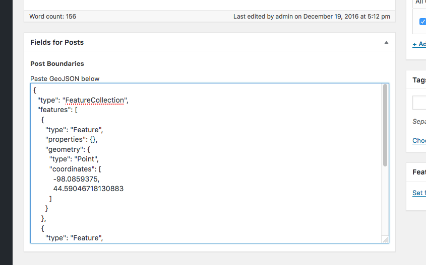
Alternatively you can accept latitude and longitude values, or raw GeoJSON
text.
GeoMeta for ACF supports for both ACF version 4 and 5.
Why use GeoMeta for ACF instead of one of the other map inputs for ACF?
GeoMeta for ACF uses WP-GeoMeta under the hood, which means that you're
actually storing spatial meta data, not just text. With the WP-GeoMeta library
you have access to all of the spatial functions MySQL supports to search and
filter your WordPress posts and users.
Compatibility
This ACF field type is compatible with:
- ACF 5 / ACF Pro
- ACF 4
安装:
Be sure that Advanced Custom Fields is installed. You can use Advanced Custom
Fields (v4) or Advanced Custom Fields PRO (v5). Version 4 is in the
plugin repository. ACF
PRO is available from
https://www.advancedcustomfields.com/pro/.
With ACF installed, you can install this plugin in the usual WordPress way.
- Upload the plugin files to the
/wp-content/plugins/geometa-acfdirectory, or install the plugin through the WordPress plugin screen directly. - Activate the plugin through the 'Plugins' screen in WordPress.
屏幕截图:
常见问题:
How can I run spatial queries?
No one has actually asked any questions yet! GeoMeta for ACF uses WP-GeoMeta internally. For sample queries, please see the WP-GeoMeta documentation.
Where can I get help with GIS and WordPress?
For community support try WherePress.com For commercial support you can contact the plugin developer at Cimbura.com For fast and short questions you can contact me on twitter.
更新日志:
0.0.4
- Updated wp-geometa-lib
- Geometa-ACF is now using Leaflet-PHP to generate Leaflet code. Will allow for easier Leaflet maintenance going forward.
- Alpha feature Bring Your Own Geocoder. Define GEOMETA_ACF_BYOGC=true to enable and see media/js/geometa-acf.js for callbacks. More documentation coming when it comes out of alpha.
- Moved from including the WP-GeoMeta plugin to including wp-geometa-lib
- Fixed Contributor name for cimburacom
- Set up I18N support and Portuguese translation
- Code cleanup
- A start on code documentation
- Initial Release.
- Support for Map input, lat/lng fields and raw GeoJSON input
- Support for ACF v4 and ACF Pro/v5


