Interactive Map Widget
| 开发者 | nahiro |
|---|---|
| 更新时间 | 2026年1月6日 23:14 |
| PHP版本: | 7.2 及以上 |
| WordPress版本: | 6.7.2 |
| 版权: | GPLv2 or later |
| 版权网址: | 版权信息 |
详情介绍:
the WordPress locations plugin "Interactive Map Widget" is ideal for entrepreneurs. It allows the integration of interactive maps with different locations on websites. Pins show information such as name, photo, phone number and email address. Fully compatible with Elementor.
Practical and simple to use
Interactive Map Widget for Elementor as a WordPress tool will definitely simplify your work significantly and provide real value to your customers. It is the key to excellence in visualizing geographic data on WordPress.
To transform the way your visitors interact with your geographic content, the Interactive Map offers a visually and functionally superior and engaging experience. It's more than just a simple add-on; it's an essential tool that enriches your website by allowing you to create detailed interactive maps with amazing ease.
Designed to integrate seamlessly with WordPress and Elementor, this widget allows you to use a drag-and-drop interface to fully personalize your maps, making implementation intuitive and accessible to everyone, regardless of their technical level.
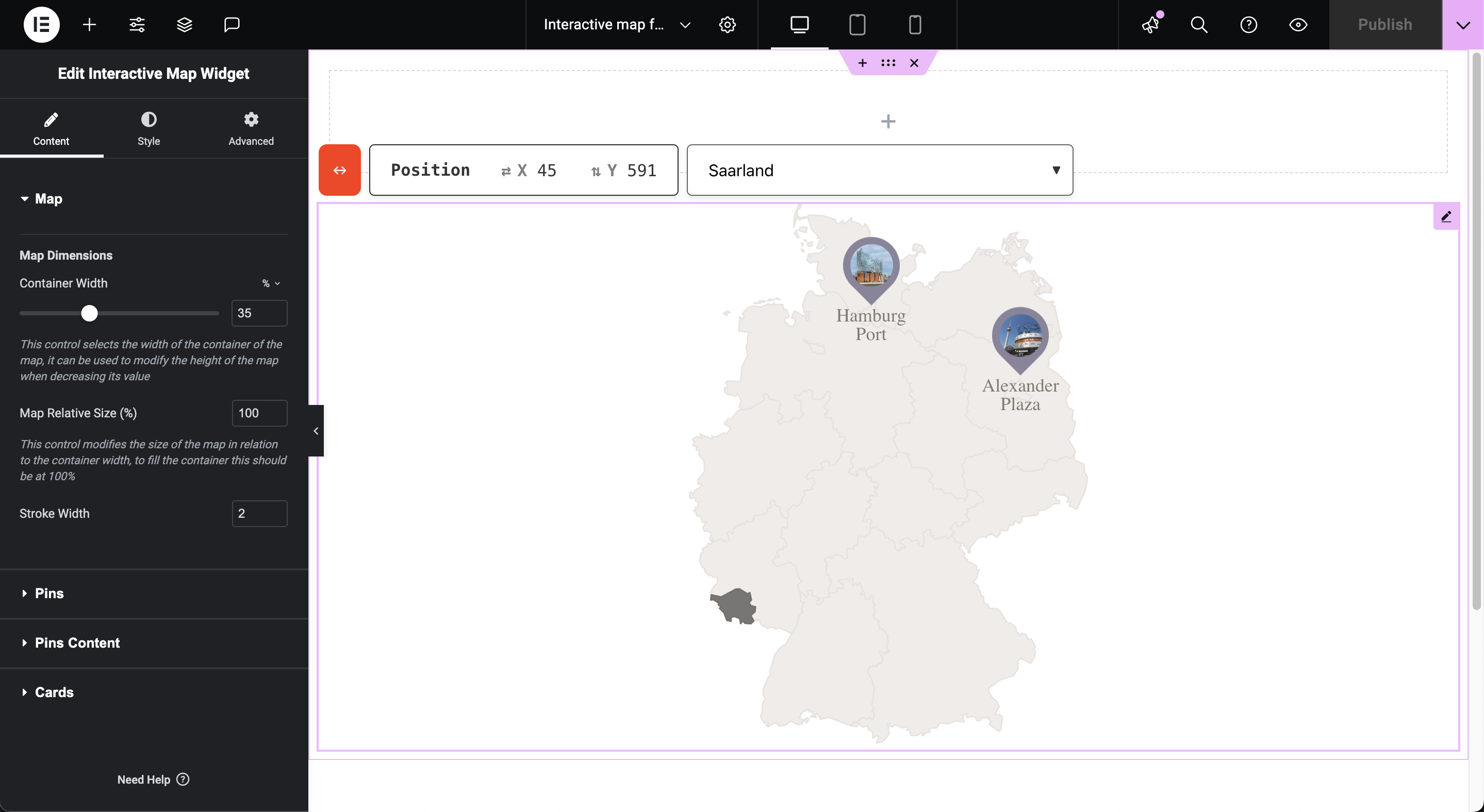
With the ability to draw maps of specific countries and their regions, you can present key information in a way that's easy to understand and visually appealing. Each pin on your map isn't just a marker; it's a gateway to a rich information map with details like photos, contacts, and descriptions that appear with a simple click, greatly improving user engagement.
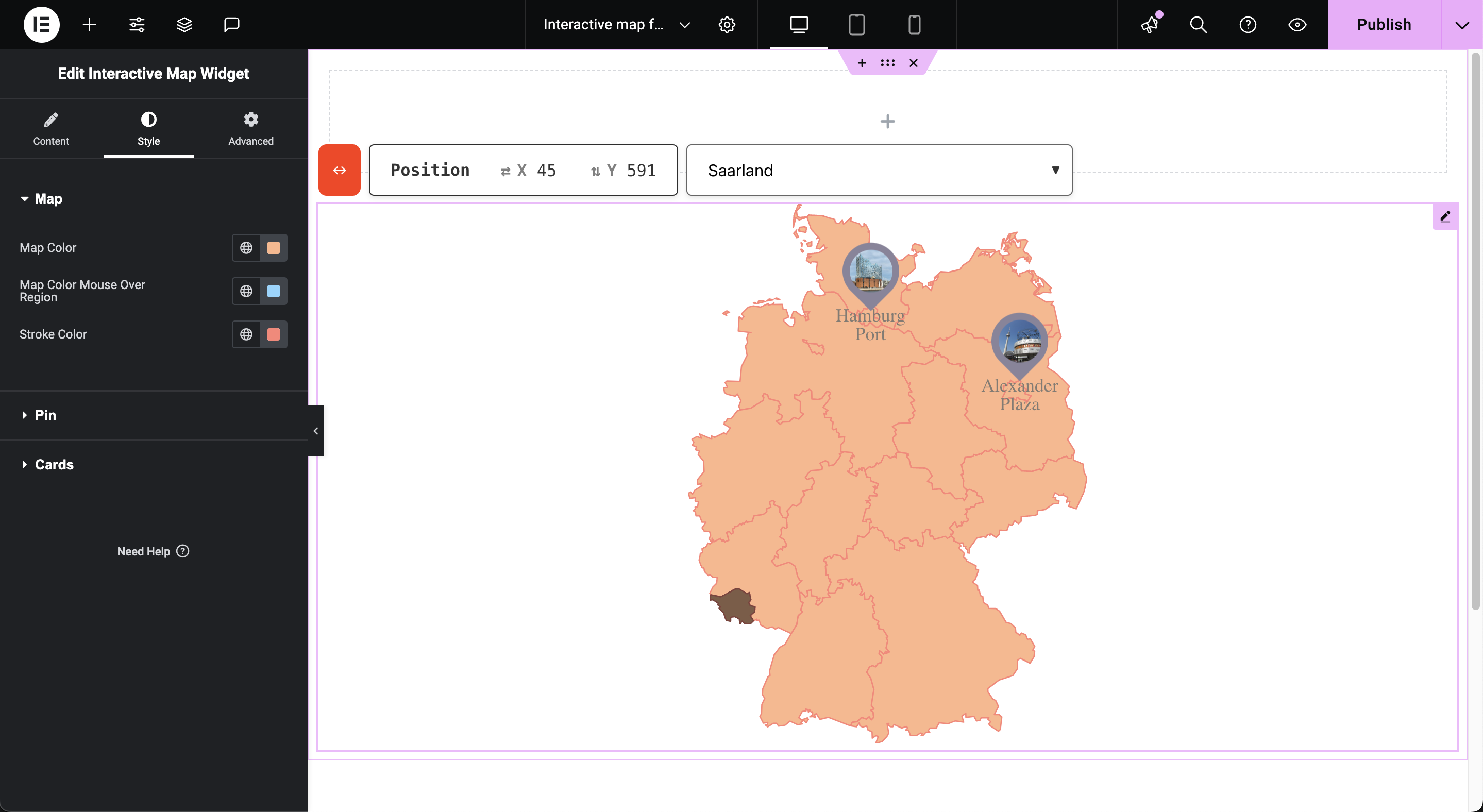
Furthermore, customization is where the Interactive Map Widget for Elementor really shines. You can adjust everything from the size and color of the pins and maps to the alignment and overall layout to ensure that every element of the map is perfectly in line with your brand's aesthetic. This not only improves the visual coherence of your page, but also reinforces your corporate identity at every point of interaction.
WordPress map with locations, optimized for the DACH region
Discover the powerful “Interactive Map Widget”! This WordPress locations plugin is specially optimized for the DACH region and allows you to create and customize interactive maps for any city. Fully compatible with WordPress and Elementor Pro, our plugin offers lightweight and lightning-fast performance.
It allows companies to seamlessly integrate visually appealing, interactive maps into their websites. With extensive style configuration options and user-friendly operation, it is the ideal tool to improve your online presence and offer your customers an impressive user experience. Turn your website into an interactive experience with our innovative map solution!
Integration with WordPress and Elementor
Interactive Map Widget is specially designed for websites that use WordPress and leverage the power of Elementor, one of the most popular and flexible page builders on the market. This integration ensures that users can easily implement and configure the widget, leveraging Elementor's intuitive interface for fast and efficient design.
WordPress locations plugin, creation of maps with regional subdivisions
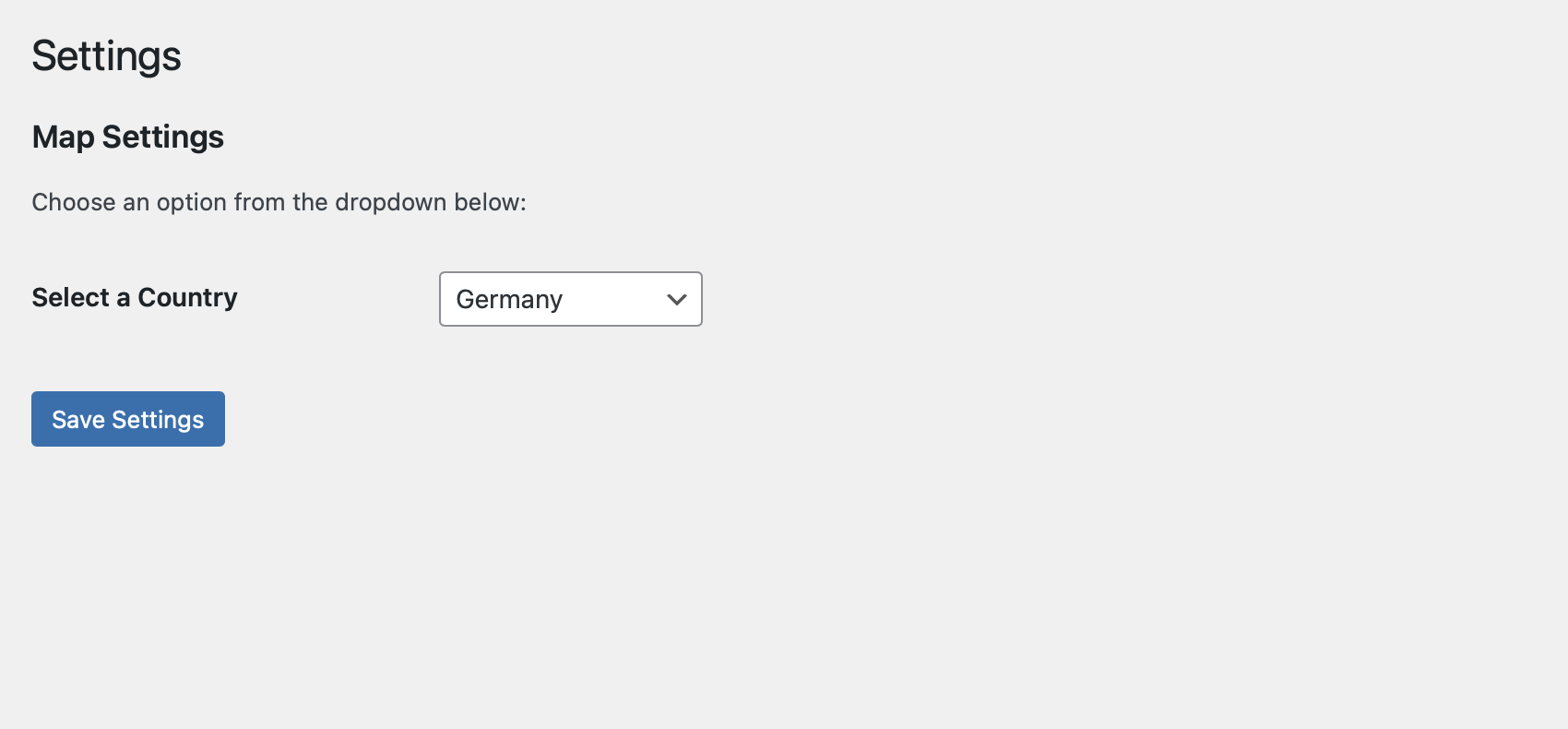
One of the main features of the WordPress Locations Plugin, Interactive Map Widget is its ability to draw detailed maps of countries, including internal regional divisions. Users can select any country they want to display and customize the map to fit the specific needs of their project or presentation.
WordPress map with locations, information cards when clicking on the pins
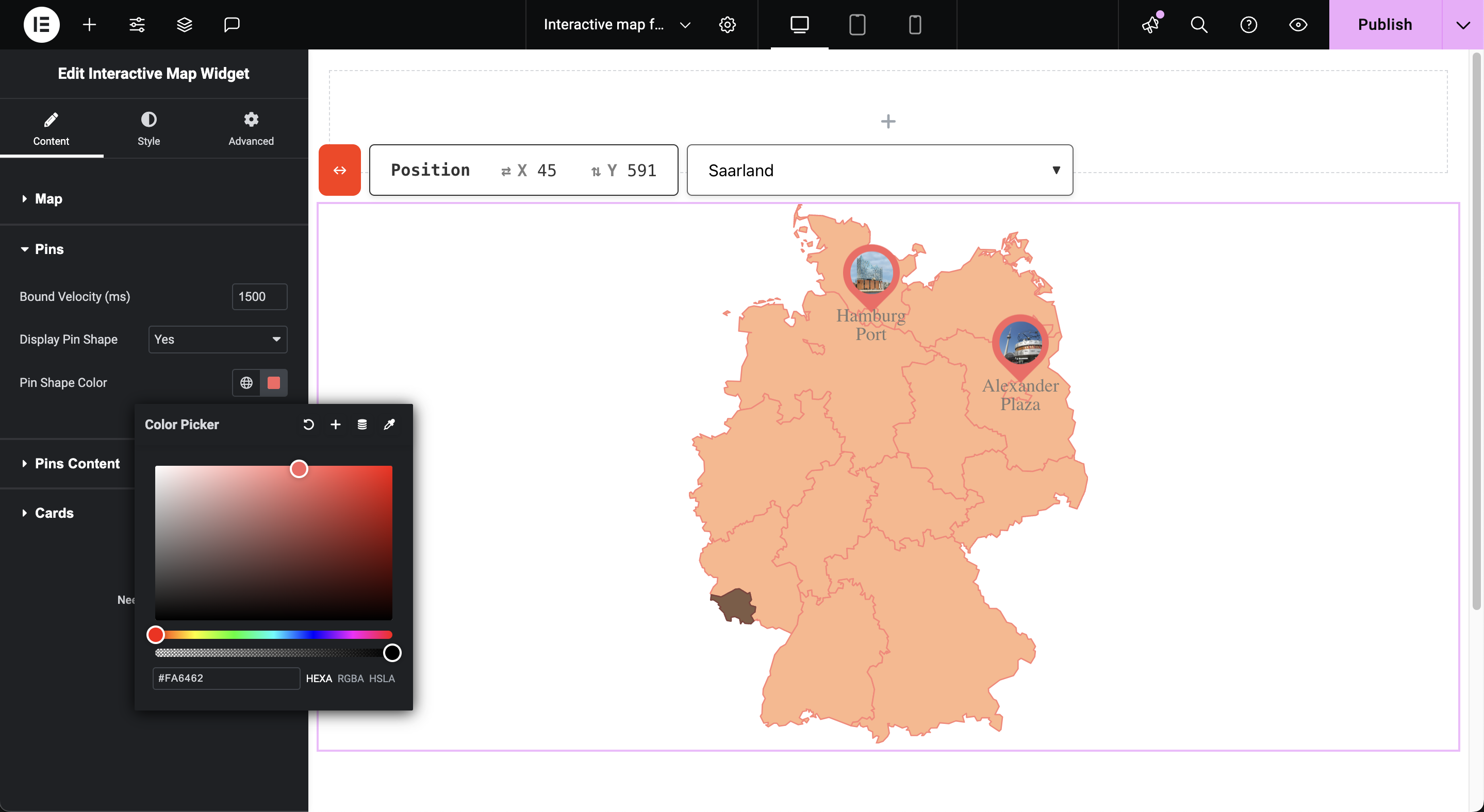
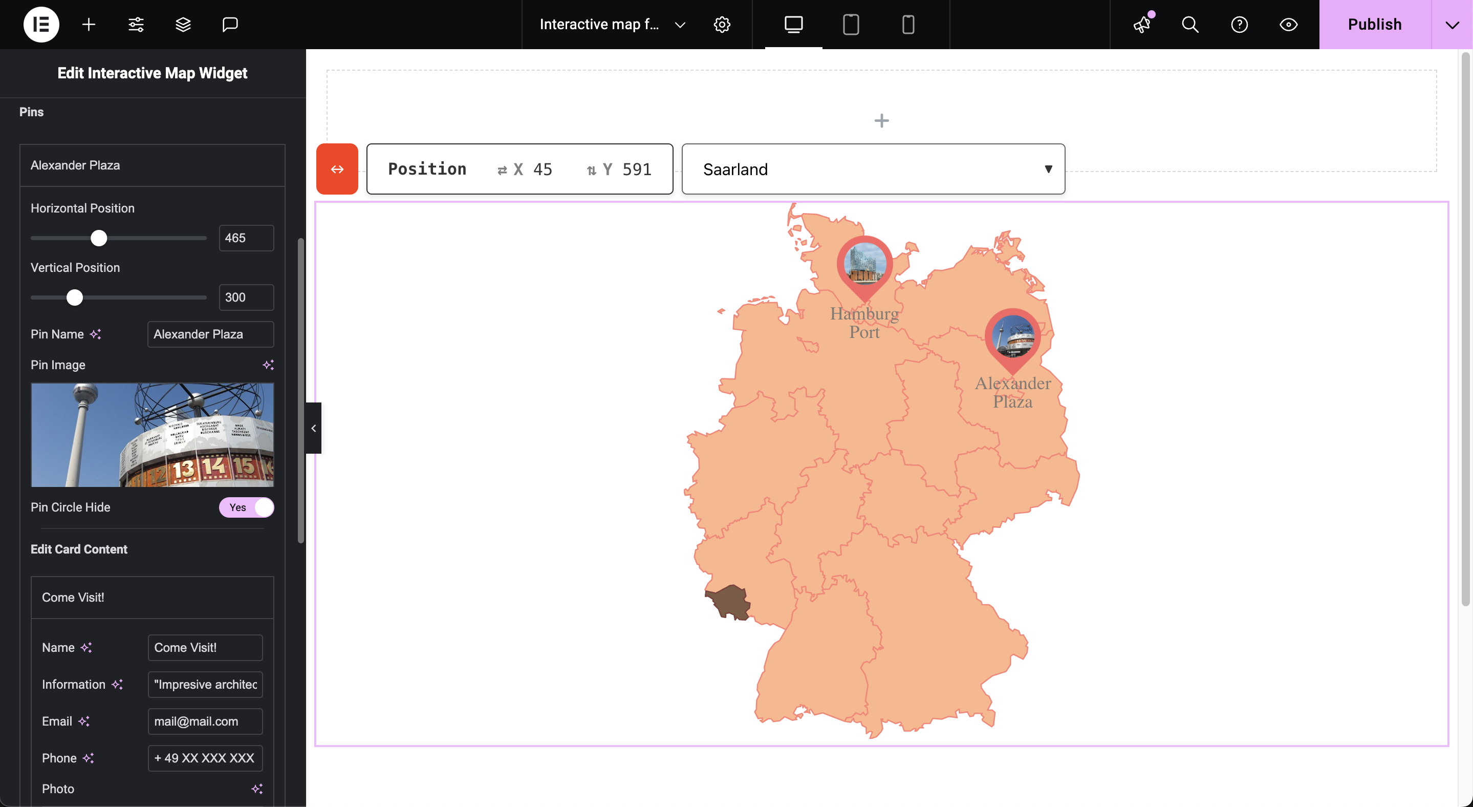
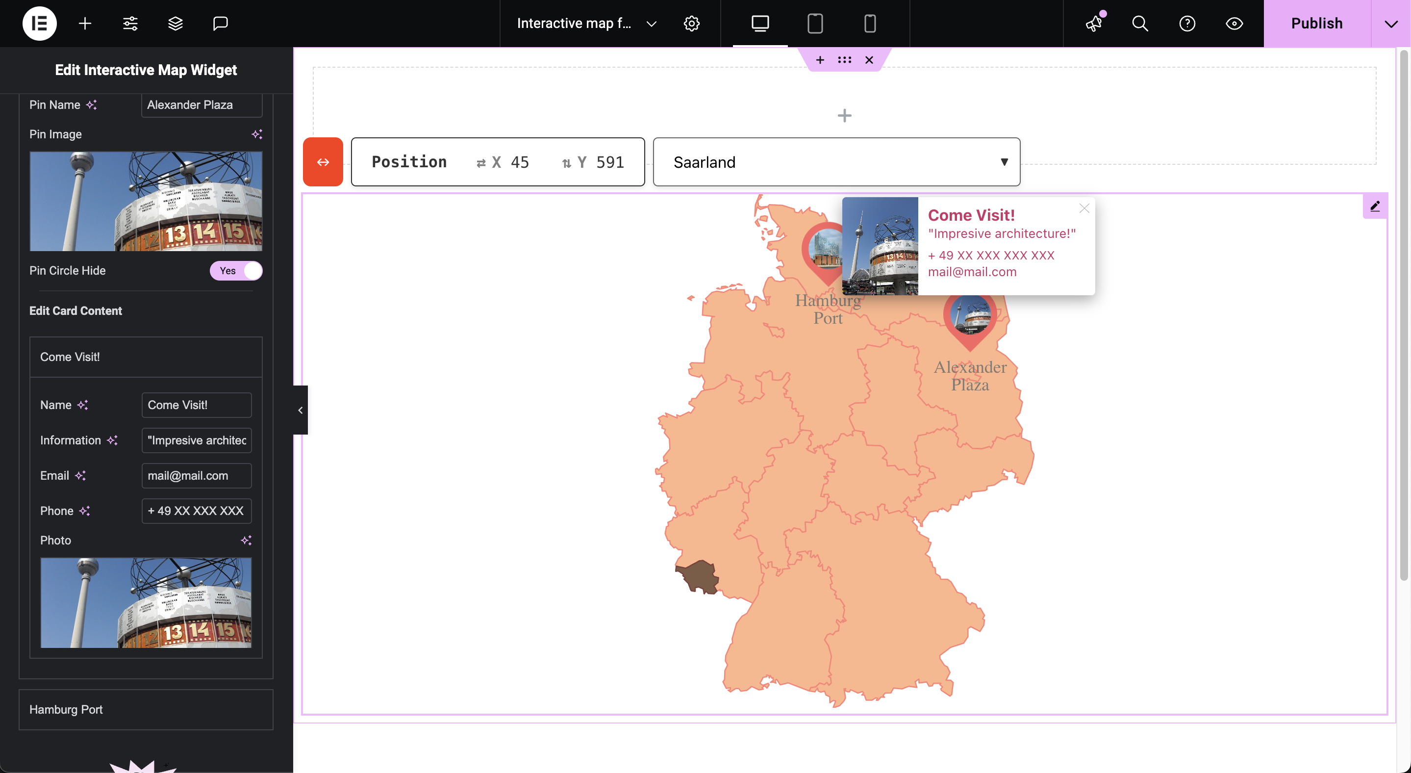
Clicking on any pin displays an information card that may contain data such as the name, photo, phone number and email address of the person or place depicted.
The maps are also customizable, with options that allow you to change the style, text size, color, and more to ensure that the presentation of information is clear and consistent with the website's visual identity.
Features
- Interactive Maps for Elementor
- Customizable Pins
- Include Maps from: Austria, Argentina, Belgium, China, France, Germany, Japan,
- Ireland, Italy, Luxembourg, Poland, Portugal, Spain, United States, Venezuela and more.
- Fast and light.
- Excellent resolution on any screen
- User-friendly
- Active languages: English, German, Spanish.
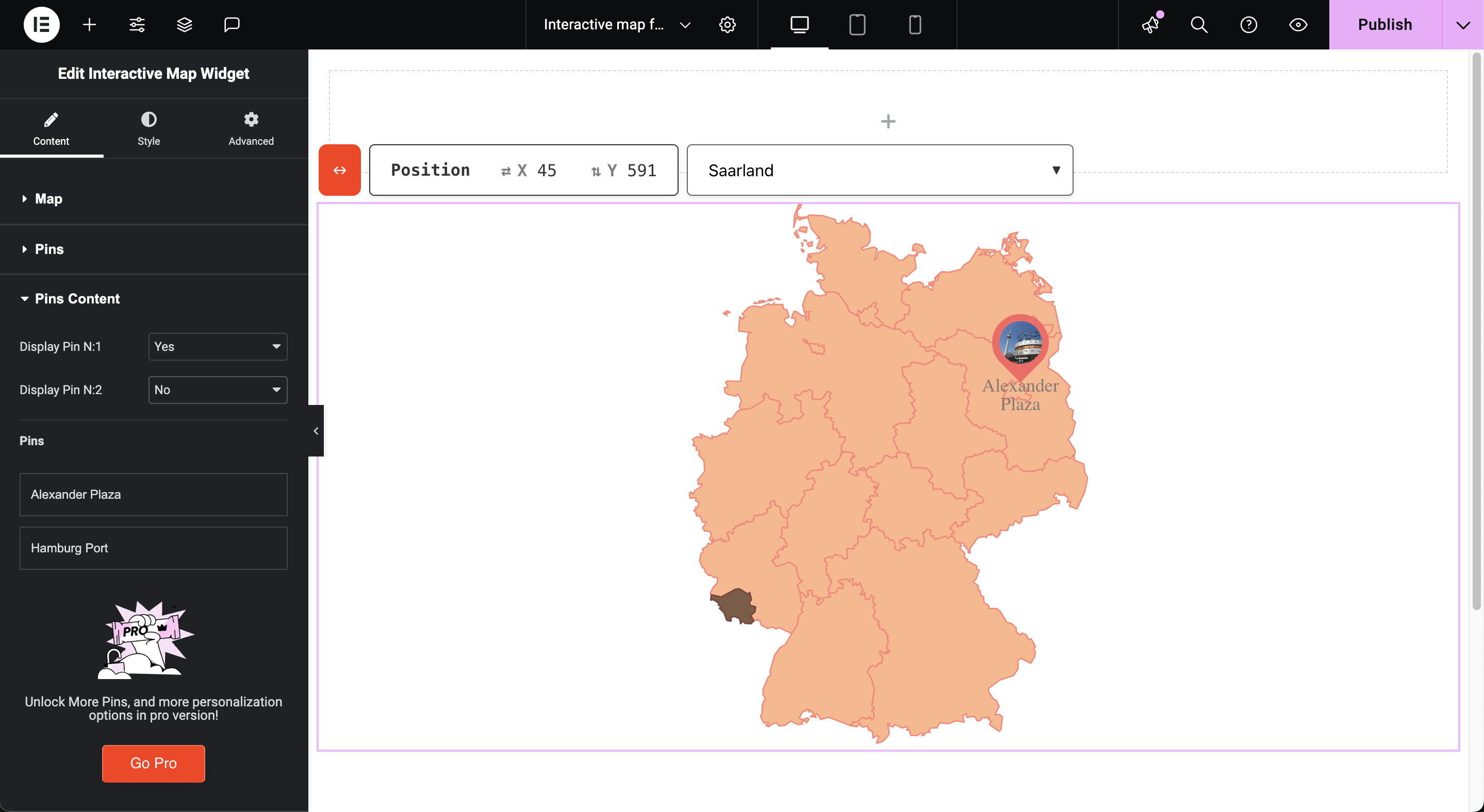
⭐️ Unlimited pins/markers: mark multiple locations in any point of a region without worrying about limits ⭐️ More maps: you can have more different maps with different countries on your page, don't limit yourself to just one! ⭐️ Adjustable cards: In any card if your content grows beyond expected the card grows with you! No need to make adjustments, we do it for you. Card height and image proportion on cards adjust individually to give you flexibility ⭐️ New rich content field: introducing a new card field that allows you to add formatted content! Add headings, links, bullet list and more to your cards content. ⭐️ More personalization options ⭐️ New features: the professional version will constantly improve, quality of life improvement or feature will be released in this version. The free version won't receive new features frequently.Are you interested? Check out: Interactive Map Widget Pro
安装:
- Extra the contents of the .zip file and upload
interactive-map-widgetto the/wp-content/plugins/directory - Activate the plugin through the 'Plugins' menu in WordPress
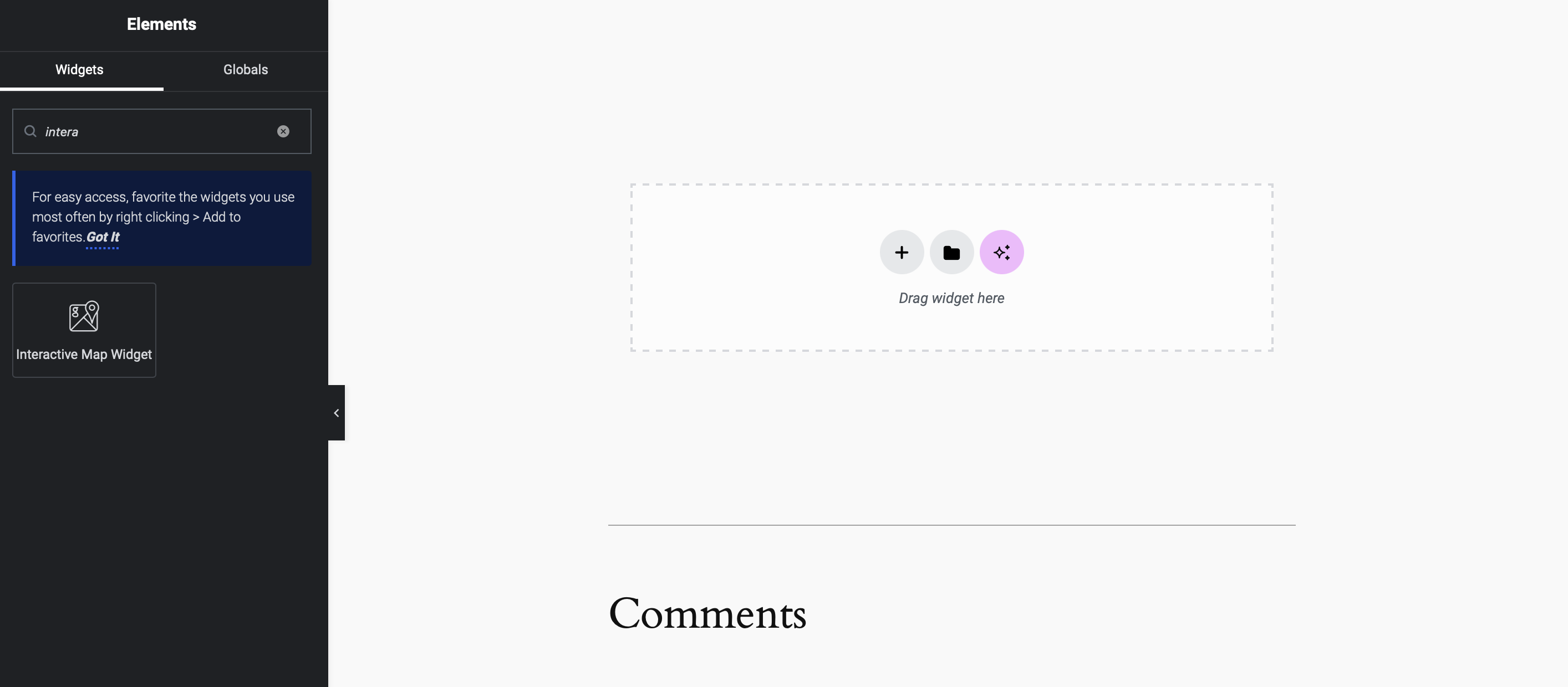
- Add the map through the elementor editor to the page, search for "Interactive Map Widget".
屏幕截图:
更新日志:
1.2.9
- bug fixes and improvements
- bug fixes and improvements
- bug fixes and improvements
- new feature: tool to positions pins easily on the editor
- Css improvements
- Initial Release
