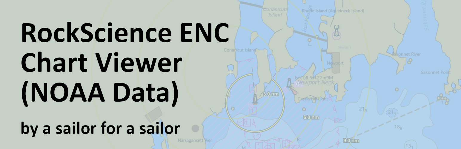
RockScience Marine Chart Viewer for NOAA ENC
| 开发者 | rockscience |
|---|---|
| 更新时间 | 2025年9月23日 20:32 |
| PHP版本: | 5.0 及以上 |
| WordPress版本: | 6.8 |
| 版权: | GPLv2 or later |
| 版权网址: | 版权信息 |
详情介绍:
This is a SERVICE PLUGIN that provides real-time access to official NOAA nautical charts by connecting to external government APIs. The plugin acts as a bridge between your WordPress site and NOAA's Electronic Navigational Chart (ENC) services.
Important: Marine chart data is provided by NOAA and only covers U.S. coastal waters, Great Lakes, and U.S. territories. For areas outside NOAA coverage, only the base ocean map will be displayed.
Service Features:
- Real-time NOAA nautical chart data via official APIs
- Interactive charts powered by ESRI ArcGIS mapping service
- Live chart updates from government sources
- No account registration required
- Core API for other marine service plugins
- Settings page for default coordinates External Service Dependencies: This plugin requires internet connectivity to function as it provides live chart data from:
- NOAA Chart Services (official government charts)
- ESRI ArcGIS API (mapping framework)
- No personal data is collected or transmitted Chart Coverage: Marine chart data is sourced from NOAA Electronic Navigational Charts (ENC) and covers:
- U.S. coastal waters (Atlantic, Pacific, Gulf of Mexico)
- Great Lakes
- U.S. territories (Alaska, Hawaii, Puerto Rico, etc.)
- Areas outside NOAA coverage will display base ocean maps only
安装:
- Upload the plugin files to the
/wp-content/plugins/chart-viewer/directory - Activate the plugin through the 'Plugins' screen in WordPress
- Use the
[rs_enc_chart]shortcode in your posts or pages
常见问题:
How do I use the shortcode?
Use [rs_enc_chart lat="41.5" lng="-71.4" zoom="12"] to display a chart centered at the specified coordinates.
Available attributes:
lat- Latitude in decimal degrees (default from settings)lng- Longitude in decimal degrees (default from settings)zoom- Zoom level 6-16 (default: 13)height- Chart height (default: 400px)show_center_mark- Show center crosshair (default: true)show_enhanced_status- Show coordinate display (default: true)show_range_rings- Show distance rings (default: true)
How does mouse wheel zoom work?
Mouse wheel zoom is focus-aware to prevent accidental zooming while scrolling the page. Click on any chart to focus it (blue outline appears), then use mouse wheel to zoom. Click outside the chart to remove focus and disable wheel zoom.
Can I customize the default center?
Yes, go to Settings > Chart Settings to set default coordinates for new charts.
更新日志:
202507.7
- Added settings page for default coordinates
- Improved admin script loading
- Enhanced error handling
- Added focus-aware mouse wheel zoom
- Improved multiple chart support
- Better error detection and user feedback